 |
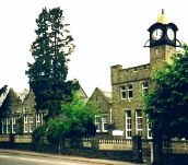
Aberdare Boys’ Grammar SchoolMap of The Cynon Valley, 1956 |
 |
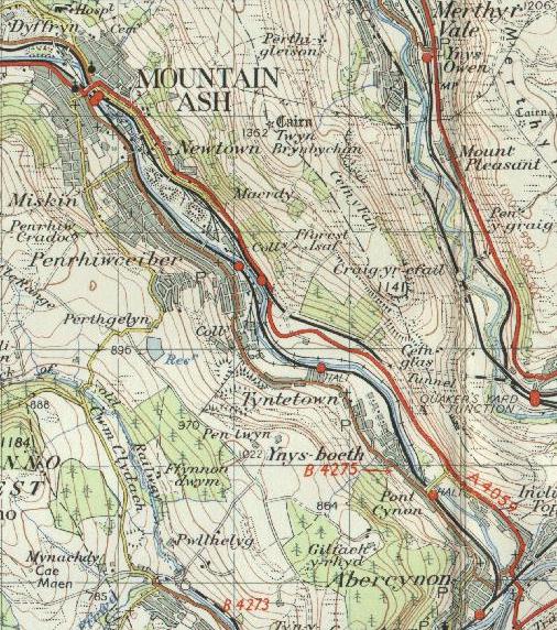
The Cynon Valley in 1956
These extracts are taken from the Ordnance Survey one inch to one mile map published in 1956. They cover the areas where most of us lived at the time, and show them approximately as they would have been at the start of our time at the school. Click on the thumbnails to enlarge them. To improve clarity the enlarged maps are scanned at a two-fold magnification, so each has an on-screen scale of about two inches to one mile.
 |
||||
 |
||||
 |
||||
 |
 |
|||